
Google Maps celebrates its 20th anniversary - on February 8, 2005, the mapping service first appeared on computers to help people "get from point A to point B." This year also marks the 15th anniversary of Google Maps in Ukraine, which debuted on January 22, 2010.


On the occasion of the anniversary, it is interesting to recall key dates in the history of Google Maps. The Google office in Ukraine reminded us of them. For example, in 2005, a group of engineers launched the Google Transit Trip Planner in Portland, Oregon, as part of the 20% of the Time program.
This is a project that later became real-time public transportation information on Google Maps. 20 years later, Google Maps cooperates with more than 10 thousand transportation agencies around the world.
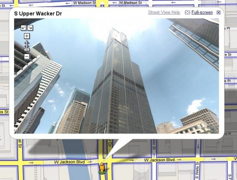
In 2007, Larry Page had the idea to drive around the streets of a city and collect images, and Street View was born. The service has become an important tool for mapping the world. Billions of images have been collected, covering more than 20 million kilometers, which is like circling the Earth 500 times.
In addition, in 2007, Google Maps for mobile devices became popular after being launched on Blackberry, Palm, and Windows devices. Two years later, turn-by-turn navigation was added, allowing people to confidently navigate unfamiliar places with a smartphone in their pocket.


The year 2009 was a turning point for the mapping service - they started creating their own maps from scratch. This was done using data from local authorities, Street View, satellite images, and a "Report a problem" button so that users could suggest changes to the map for the first time.
Three years later, in 2012, Street View introduced a new way to explore the world with the Trekker, a backpack designed to capture 360° panoramic images.
"This technology has allowed us to go off the beaten path and travel to places like the Grand Canyon, which was the first Trekker expedition. Since then, Trekker has visited the Amazon rainforest and the Eiffel Tower, giving everyone the opportunity to virtually visit these amazing places," says Google's office in Ukraine.
In addition, on March 29, 2012, Google Navigation was introduced in Ukraine. Shortly thereafter, on April 20 of the same year, Google Maps in Ukraine launched Street View. And a year later, on March 19, 2013, the Public Transport service became available in our country.
In 2014, we made it easier to find useful information about places, such as opening hours, ratings, and price categories for restaurants, bars, and hotels. Today, this information is available for more than 250 million locations worldwide.

Equally important was 2015, when the global community of Local Experts was launched. Volunteers add useful reviews, photos, and important accessibility information to keep Google Maps up to date.
In 2019, Live View was introduced, an innovative feature that uses artificial intelligence and augmented reality to guide people on their walks.
"You no longer need to get confused after getting off the subway - just follow the arrows! Today, Live Maps are available in more than 100 countries," says Google Ukraine.
In 2023, with the launch of Immersive View, the company introduced the future of Google Maps, changing the way people explore landmarks, parks, stadiums, and routes with advances in computer vision, artificial intelligence, and billions of images. Users are now able to not only see images, but also overlay useful weather and traffic information to help them understand what to expect.
In 2024, Google's mapping service entered the Gemini era.
"With Gemini's powerful creation, analysis, and summarization capabilities based on our trusted data of 250 million places around the world and insights from the Maps community, you can simply ask Google Maps to get instant inspiration for different things," said Google Ukraine.