

Google Earth and Google Street View are being updated to help users learn more about the world around them and visualize its changes.
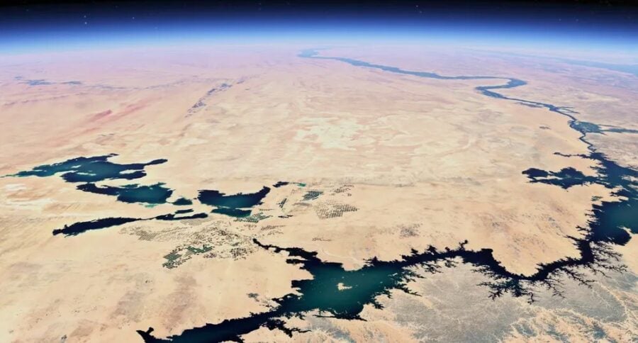
When it comes to Google Earth, the service update will allow you to assess changes on the planet that have occurred over time.
"Maybe you want to travel back in time and see what your neighborhood looked like decades ago. Or you want to understand how forests have been affected by human activity and the changing climate. All of this will soon be possible thanks to our new historical imagery in Google Earth on web and mobile, which makes it easy to explore our library of satellite and aerial imagery — some of which goes as far back as 80 years," Google said in a statement.
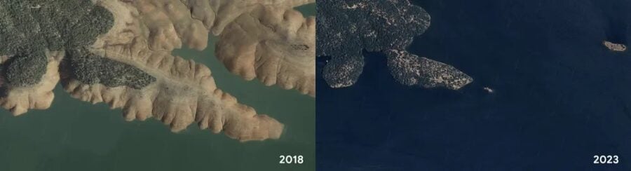
Google cites images of Lake Oroville in California (USA) as an example. The image taken in 2018 shows the effects of a drought that affected the reservoir. But the photo from 2023 shows how the lake was filled with water after a series of rains.
Historical imagery can also show changes over longer periods of time. In cities such as London, Berlin, Warsaw, and Paris, users can explore images dating back to the 1930s.
Google will also make it easier for researchers and organizations to use Google Earth for projects such as creating their own maps.
"Soon we'll start showing projects right from a newly designed home screen in Google Earth, making it even easier to collaborate with your teams," Google said.
Another update concerns Google Street View, a street view feature that was originally introduced in Google Maps. Thanks to it, users will be able to explore new street images in almost 80 countries, some of which will be available for the first time.
"Keep an eye out for updated Street View images from around the world, in countries like Australia, Argentina, Brazil, Costa Rica, Denmark, France, Iceland, Japan, Mexico, New Zealand, Philippines, Rwanda, Serbia, Spain, South Africa, Switzerland, Uruguay and many more," the company noted.


And finally, the third update concerns the quality of satellite images, which has been improved thanks to artificial intelligence. This is the Cloud Score+ model, trained on millions of images to recognize and remove clouds, cloud shadows, haze, and fog.
At the same time, this model keeps real weather conditions - ice, snow, and mountain shadows - visible on the map. The result is an updated global "mosaic" that gives you a clearer, more accurate view of the Earth.